El Niño Update: High Tides and Heavy Rain Underscore the Need to Prepare
What Recent Flooding Events Can Teach Utilities About Preparing for El Niño
As El Niño continues to strengthen, recent flooding events across both coastal and inland communities are providing an early look at the types of challenges utilities may face in the months ahead. From tidal flooding along the Pacific and Atlantic coasts to prolonged rainfall events in the Southwest, the impacts underscore the importance of preparation, monitoring, and resilience planning.
According to NOAA, strong-to-very-strong El Niño conditions are expected to persist into early 2027. While every community will experience different impacts, recent events offer valuable lessons for wastewater and stormwater utilities preparing for wetter weather, elevated water levels, and increased system stress.
Coastal Flooding Highlights Multiple Risk Factors
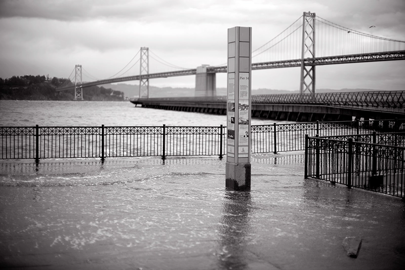
Along California's coast, October 26-28 brought significant flooding as unusually high astronomical tides coincided with elevated sea levels caused by El Niño-warmed ocean waters and a coastal Kelvin wave. Streets, homes, and businesses experienced flooding, while record water levels were reported in Santa Barbara, San Pedro, San Diego, and La Jolla.
It is important to note that El Niño does not directly create astronomical tides. Instead, warmer ocean conditions and Kelvin waves can raise baseline sea levels, allowing high tides to reach farther inland and increase the likelihood of nuisance flooding and infrastructure impacts.
El Niño doesn't create high tides, but it can raise sea levels enough to allow tides to reach farther inland.
Florida experienced coastal flooding during the same period, although the causes differed. In this case, forecasters attributed the flooding to king tides, persistent northeasterly winds, and elevated Atlantic Ocean water levels. At Virginia Key near Miami, water levels reached the third-highest mark ever recorded outside of hurricane conditions, demonstrating how non-tropical weather patterns can still create significant coastal flooding concerns.
Inland Flooding Demonstrates the Importance of Antecedent Conditions
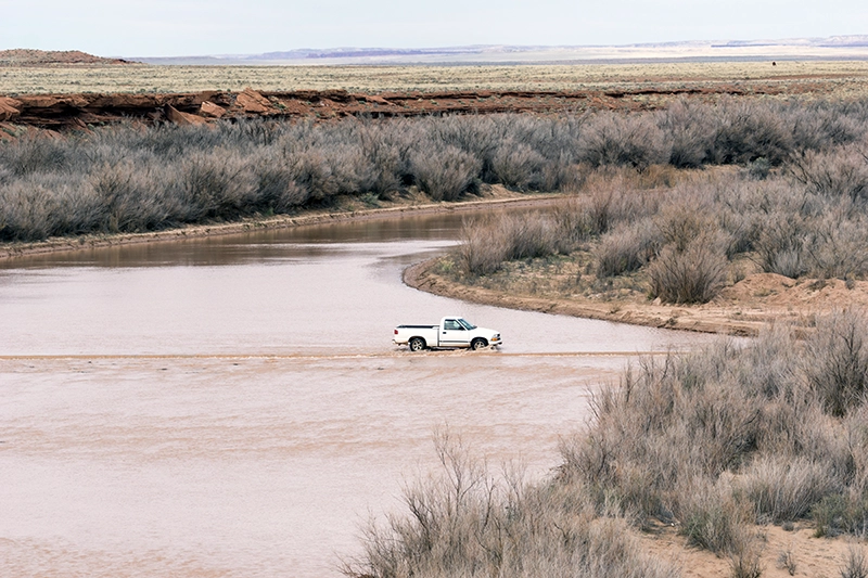
While coastal communities dealt with rising waters from the sea, parts of Arizona saw flooding driven by a different set of factors.
Between October 30 and November 1, an initial storm system saturated soils across portions of the state before an atmospheric river delivered a second round of prolonged rainfall. The resulting combination produced widespread rainfall totals of 1 to 2 inches across lower desert areas and 3 to 6 inches, with locally higher amounts in higher elevations.
The event serves as an important reminder that flooding is not determined by rainfall intensity alone. Soil saturation, storm duration, and the timing of successive storm systems often play a critical role in determining runoff volumes and flood severity. Overflowing waterways, evacuations, and sustained high flows followed as watersheds struggled to absorb additional precipitation.
What Utilities Should Be Doing Now
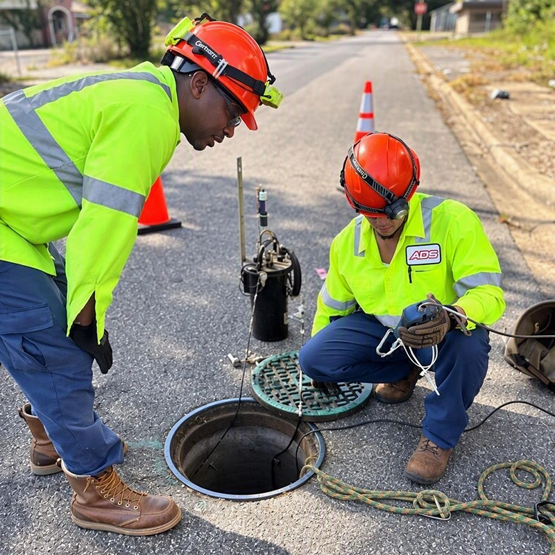
NOAA's winter outlook favors wetter-than-average conditions across much of the southern United States and along portions of the East Coast. While seasonal forecasts cannot predict individual storm events or local impacts, they can help utilities proactively prepare for elevated wet-weather risks.
For wastewater and stormwater operators, this preparation window presents an opportunity to:
- Verify sensor performance and ensure monitoring equipment is functioning properly.
- Test communications systems and confirm reliable data transmission.
- Review alarm settings and response procedures for wet-weather conditions.
- Evaluate sites with a history of infiltration, inflow, or flooding-related concerns.
- Assess staffing plans and emergency response readiness ahead of peak wet-weather periods.
- Monitor trends in rainfall, flow, and water levels to identify changing system conditions early.
Turning Forecasts into Action
Seasonal climate forecasts are most valuable when they inform preparation efforts before conditions deteriorate. Whether the threat comes from elevated coastal water levels, repeated storm systems, or prolonged periods of rainfall, utilities that maintain strong monitoring networks are better positioned to understand changing conditions and respond effectively.
Recent flooding along the California and Florida coastlines, combined with Arizona's inland flood impacts, highlights a common theme: resilience depends on visibility. By validating monitoring systems, reviewing response plans, and identifying vulnerable locations now, utilities can improve readiness for whatever this El Niño winter may bring.
Key Takeaway
Strong El Niño conditions are expected to continue through early 2027, increasing the potential for flooding risks in many regions. While the specific hazards may vary from coastal tidal flooding to inland runoff events, utilities can use this period of advance warning to strengthen monitoring, improve situational awareness, and ensure they are prepared when wet-weather conditions arrive.
-------------------------------------------------------
Is your monitoring network ready for wet-weather season?
Learn how ADS helps utilities monitor flow, rainfall, and system performance to improve visibility before, during, and after storm events.